
Geography
The region stretches from the coastal Niayes and the Lompoul dunes in the west to the semi-arid Ferlo in the east, where herding is central to rural life.
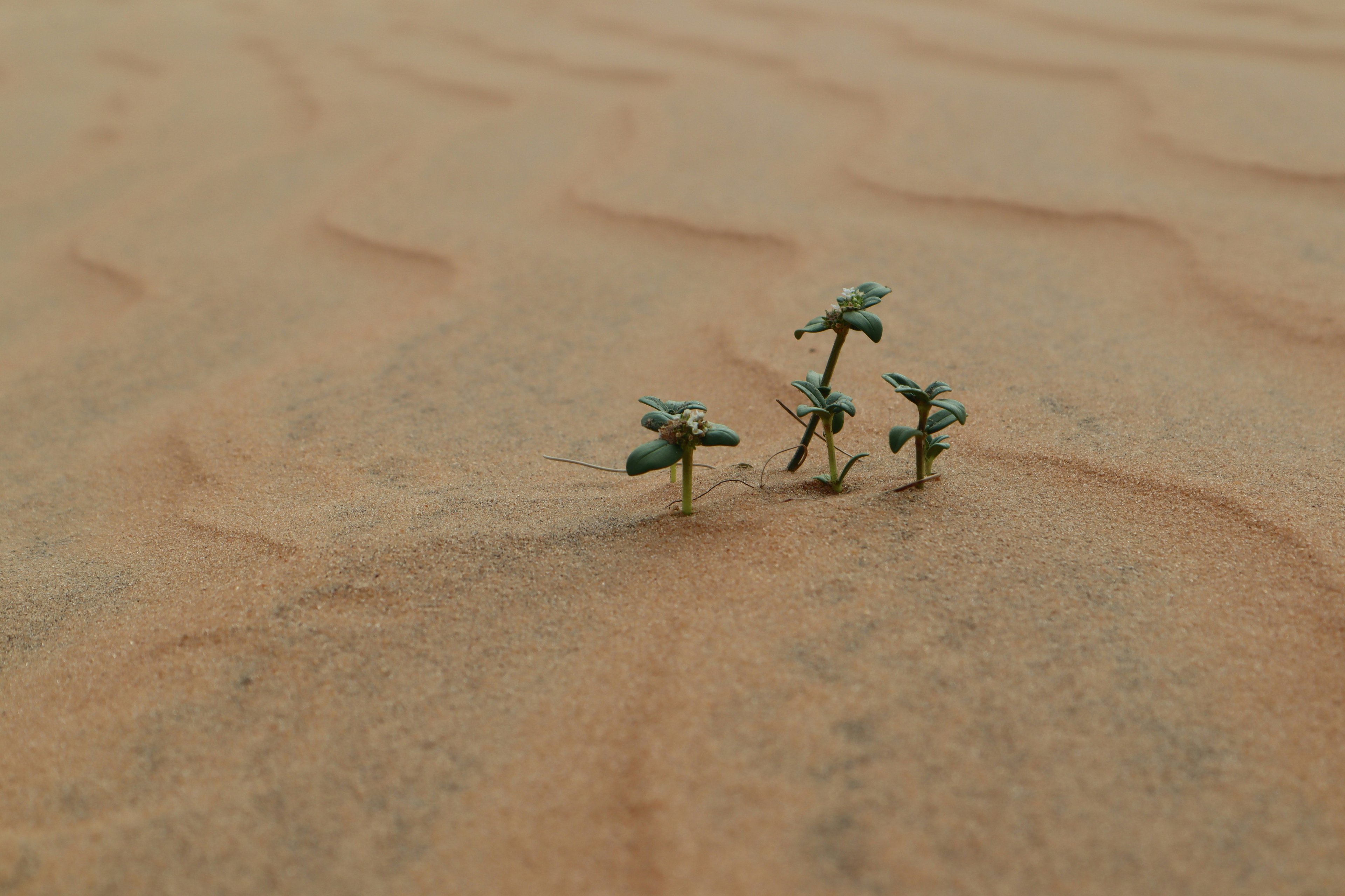
Lompoul, Senegal · Photo: Enzo Gannerie / Unsplash
Overview
Between the Atlantic dunes of the Grande Côte and the pastoral Ferlo, the Louga region is home to the Lompoul desert — an expanse of ochre dunes close to the sea — and to Linguère, in the historic Djolof. The city of Louga hosts Fesfop, an international festival of folklore and percussion.
Places and traditions we can describe with confidence. Opening hours, fees and access change — always confirm locally.
A small area of high, ochre dunes a short distance from the coast.
A town in the Djolof, the historic heart of the Jolof kingdom.
A market town on the road between Dakar and Saint-Louis.
Louga's international festival of folklore and percussion.
The region stretches from the coastal Niayes and the Lompoul dunes in the west to the semi-arid Ferlo in the east, where herding is central to rural life.
The Djolof around Linguère gives its name to the Jolof Empire, which dominated much of the region before breaking up into the Wolof kingdoms of Cayor, Baol, Waalo and Djolof in the sixteenth century.
Editorial research in progress
What this section will cover: Pastoral foodways of the Ferlo, including milk and millet traditions.
We publish only what we have verified. This section will appear once our editors complete their research.
Editorial research in progress
What this section will cover: The Lompoul dunes, the Niayes coast and the Ferlo.
We publish only what we have verified. This section will appear once our editors complete their research.
Editorial research in progress
What this section will cover: Herding communities and village life in the Djolof and Ferlo.
We publish only what we have verified. This section will appear once our editors complete their research.
Louga and Kébémer sit on the main road between Dakar and Saint-Louis.
Road conditions, ferry schedules and journey times change — we do not publish fixed durations. Confirm with your transport provider, guide or accommodation shortly before travel.
Inland Senegal is markedly hotter than the coast, particularly from March to June before the rains arrive. The rainy season (roughly July to October) turns the countryside green and is the heart of the farming year, but some unpaved roads can become difficult.
Many travellers prefer November to February for inland journeys. Confirm local road conditions with your guide or host before setting out.
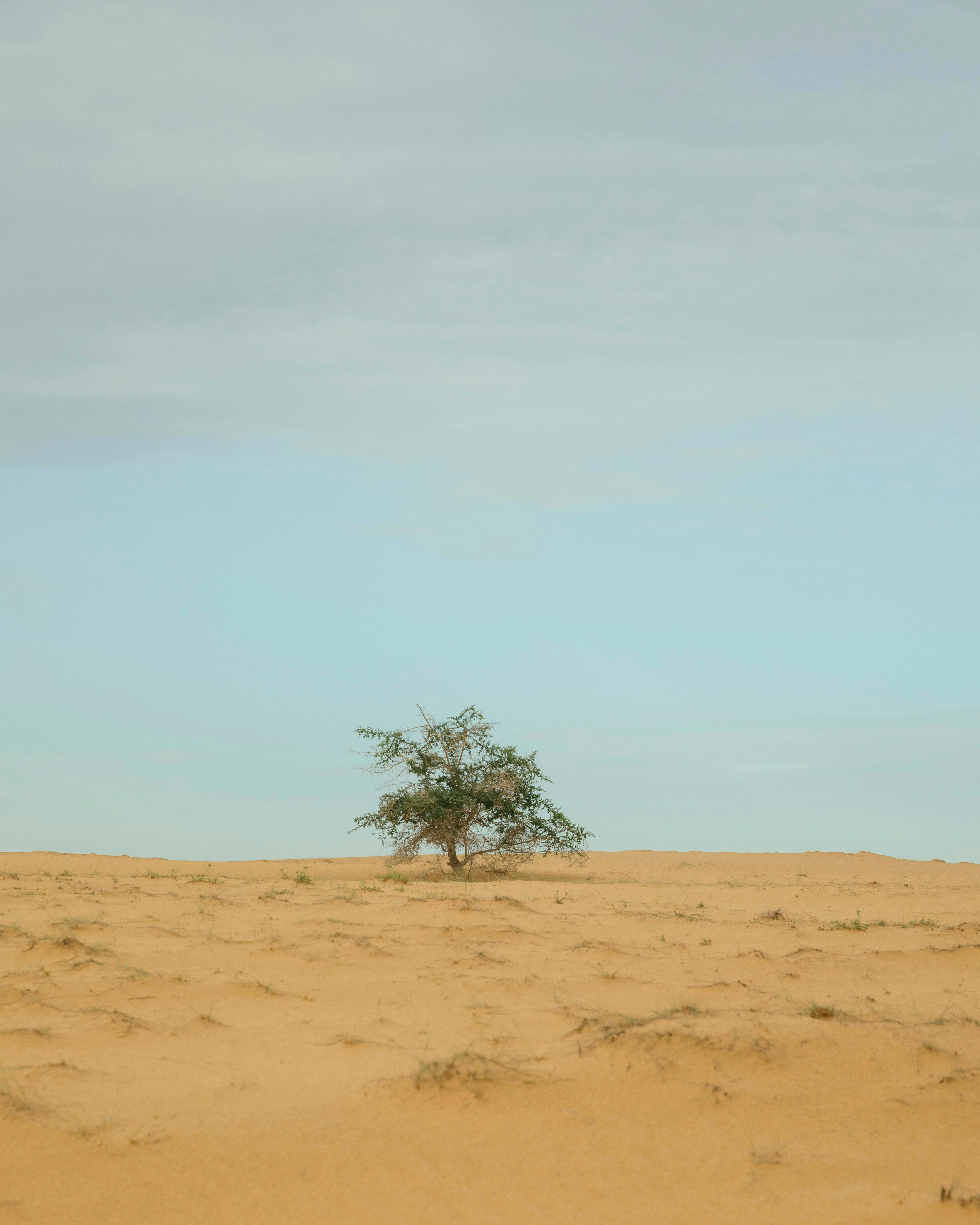
Kébémer, Senegal · Photo: Imani Bahati / Unsplash
Kébémer
A market town on the road between Dakar and Saint-Louis, and capital of the department of the same name.
Linguère
A town in the Djolof, the historic heart of the Jolof Empire, on the edge of the pastoral Ferlo.
Lompoul desert
A small area of high ochre dunes a short distance from the Atlantic coast — one of the most distinctive landscapes in Senegal.
Louga
The regional capital, on the main road between Dakar and Saint-Louis, and host of Fesfop, an international festival of folklore and percussion.
The Louga region is divided into 3 departments. Our gazetteer lists 1,558 towns, villages and natural sites here.
Search towns & villages in LougaWe have not yet onboarded experience partners in Louga. Are you a guide, host or operator here? Apply to partner with us.
We have not yet verified accommodation partners in Louga. You can search available properties with an external booking provider; your booking is made with and confirmed by that provider.
Search stays in Louga on Booking.com
People and local stories from Louga will be published with their permission as our partner network grows.
Next region: MatamEstamos traduciendo nuestros contenidos al español. Algunas páginas aún aparecen en inglés.