Ir al contenido
Flavors of Senegal
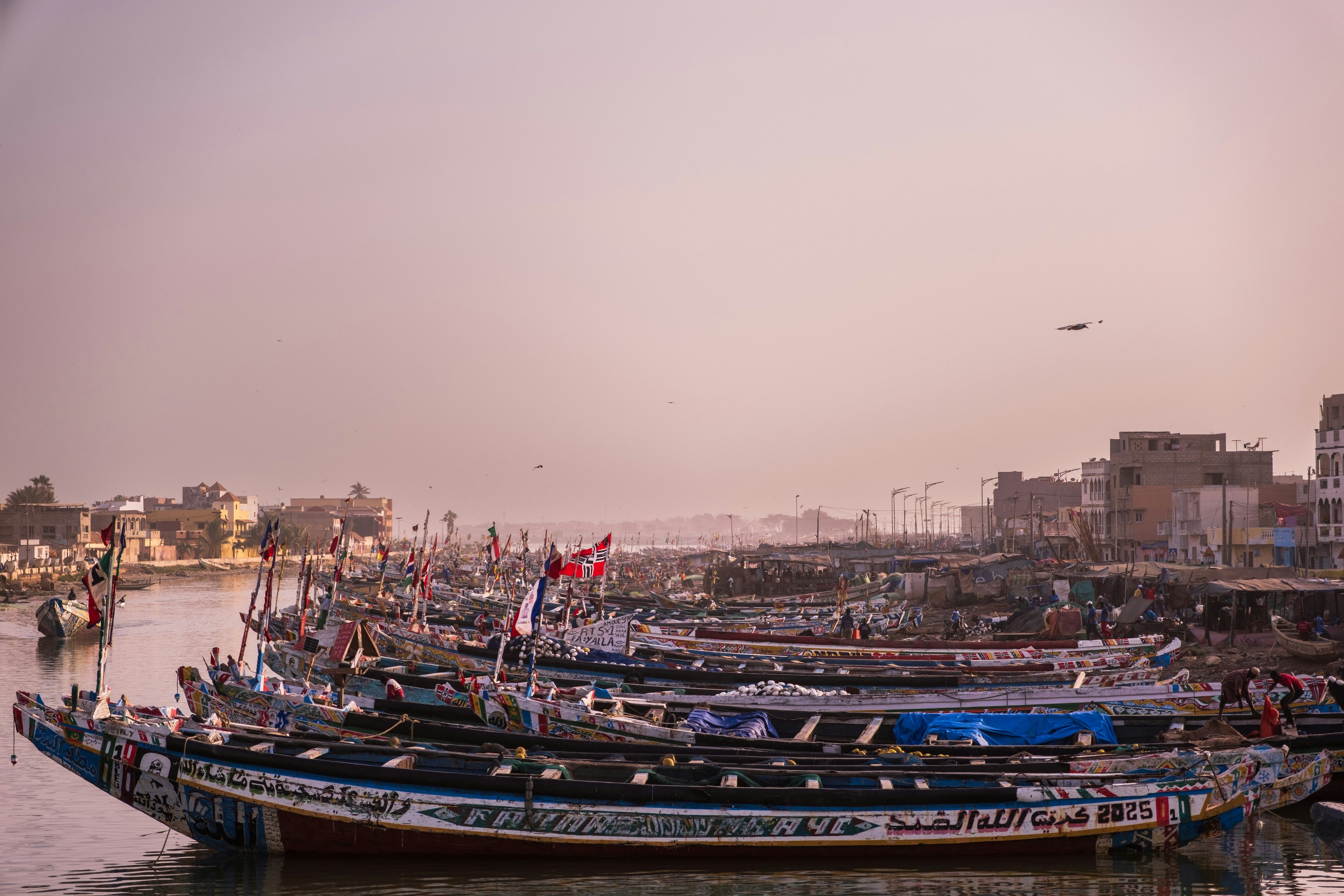
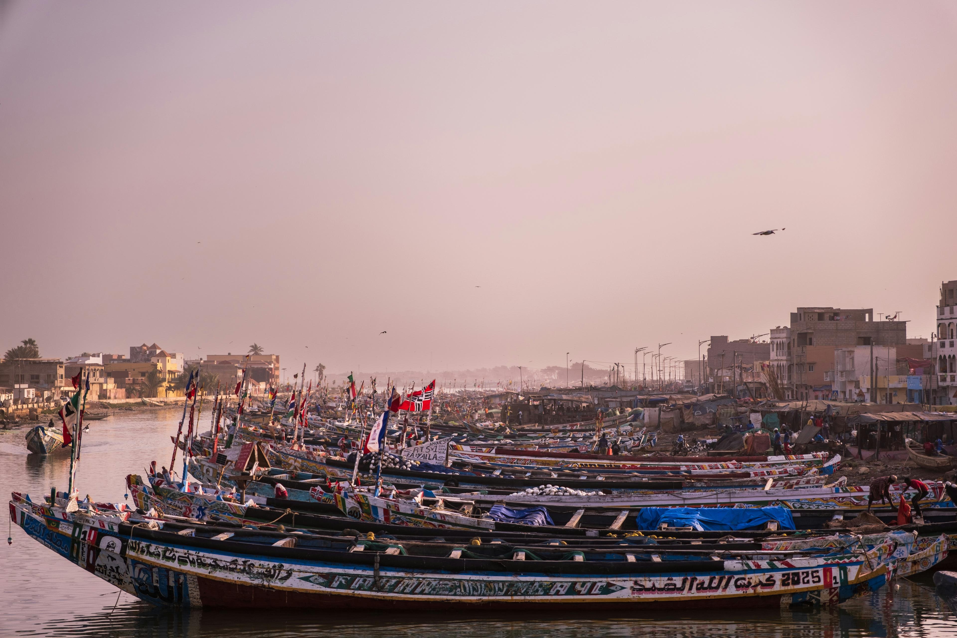
A dense fleet of brightly painted pirogues in the harbour of Saint-Louis
Explore Senegal

All 14 Regions

Senegal is divided into fourteen administrative regions, each named after its regional capital. Explore them by map, or browse by the broad areas travellers often group them into.

Saint-Louis, Senegal · Photo: Baptiste Riethmann / Unsplash

Dakar
Administrative boundaries: geoBoundaries (Government of Senegal / OCHA), CC BY 3.0 IGO. Dots mark regional capitals.

14 regions

Choose a region

Hover or tab through the map, or pick from the list below.

Coast & Cap-Vert

An informal travel grouping — not an official division.
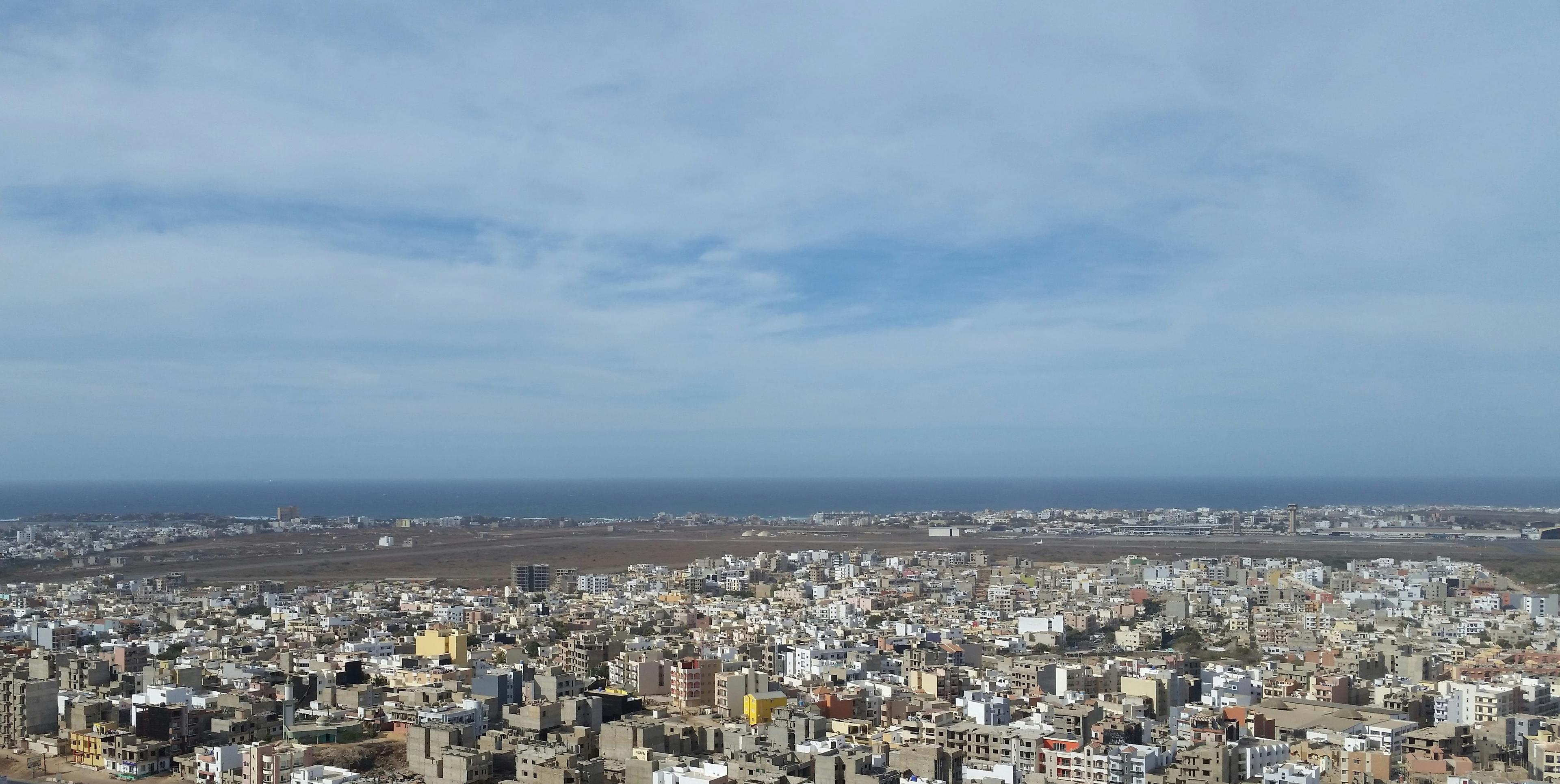
Dakar's rooftops stretching to the Atlantic, seen from the African Renaissance Monument

Coast & Cap-Vert

Dakar

A capital at the westernmost edge of mainland Africa.

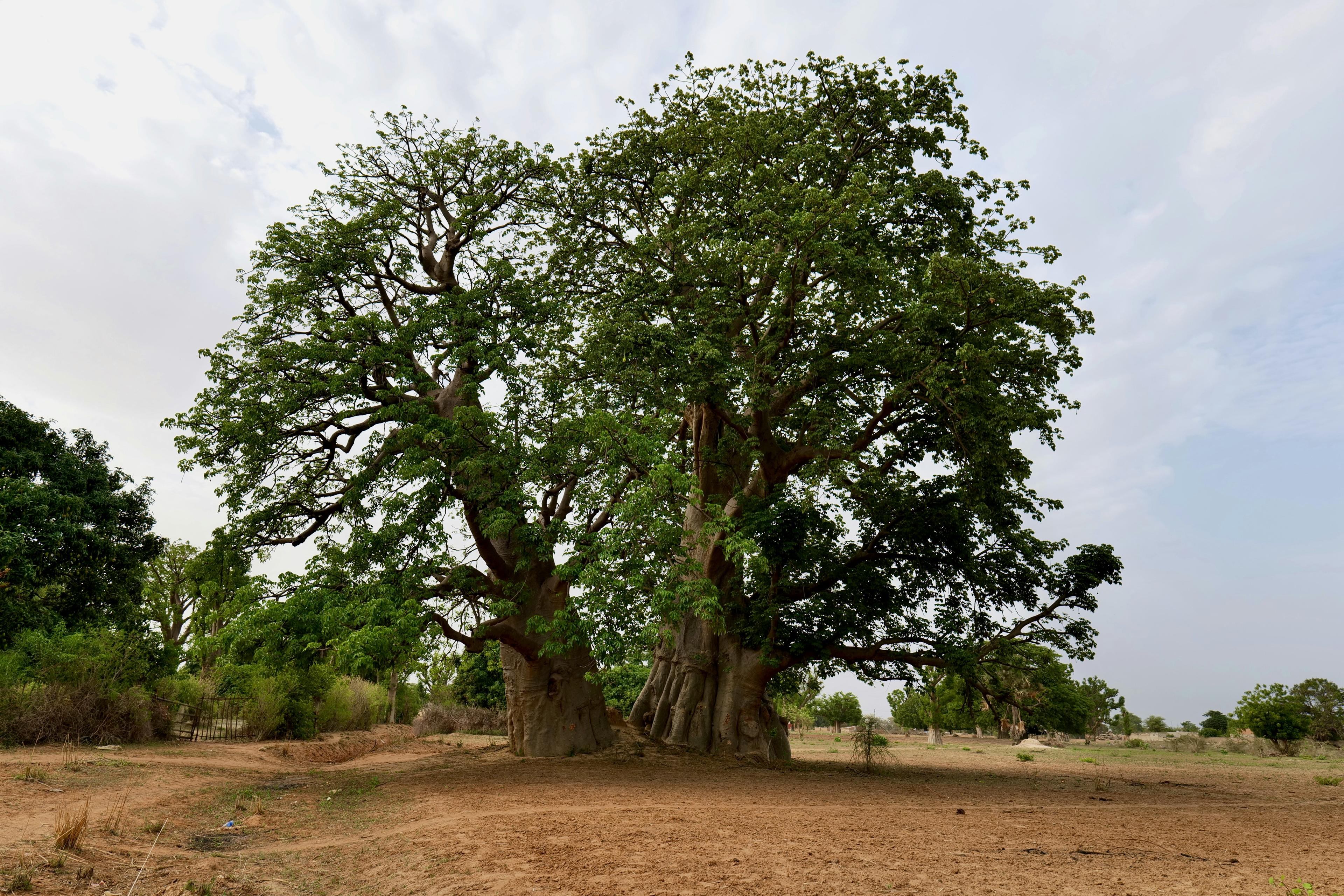
Twin baobab with a broad green canopy beside a village

Coast & Cap-Vert

Thiès

Railway heritage, the Petite Côte and the heartland of Cayor.

North & River Valley

An informal travel grouping — not an official division.
A dense fleet of brightly painted pirogues in the harbour of Saint-Louis

North & River Valley

Saint-Louis

An island city at the mouth of the Senegal River.

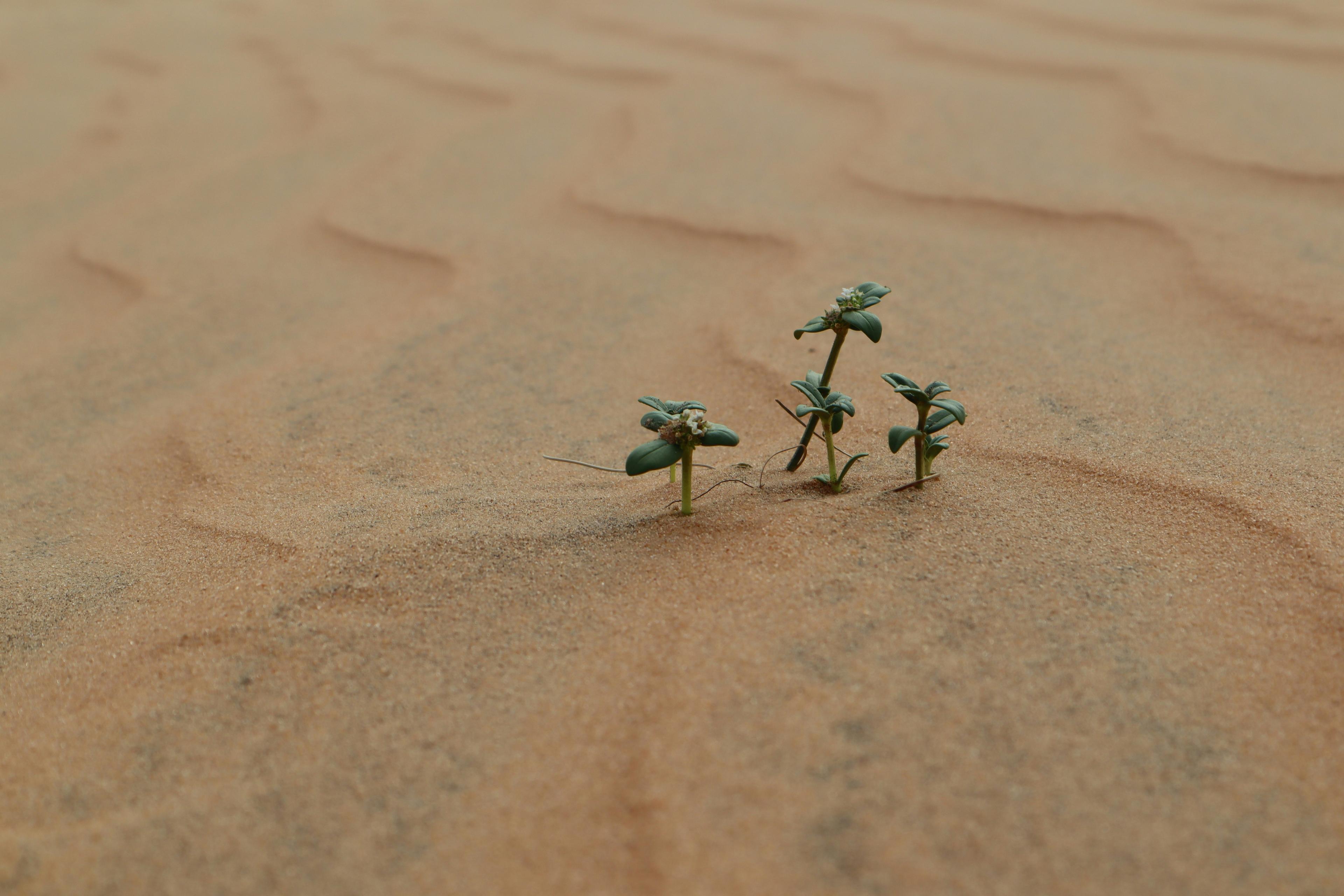
Small green shoots pushing through the sand dunes of Lompoul

North & River Valley

Louga

Desert dunes, the Djolof and a festival of rhythm.

North & River Valley

Matam

The Fouta Toro along the middle Senegal River.

Groundnut Basin & Centre

An informal travel grouping — not an official division.
Groundnut Basin & Centre

Kaolack

A market city on the Saloum River, at the crossroads of the country.

Groundnut Basin & Centre

Kaffrine

Farmland at the heart of the groundnut basin.

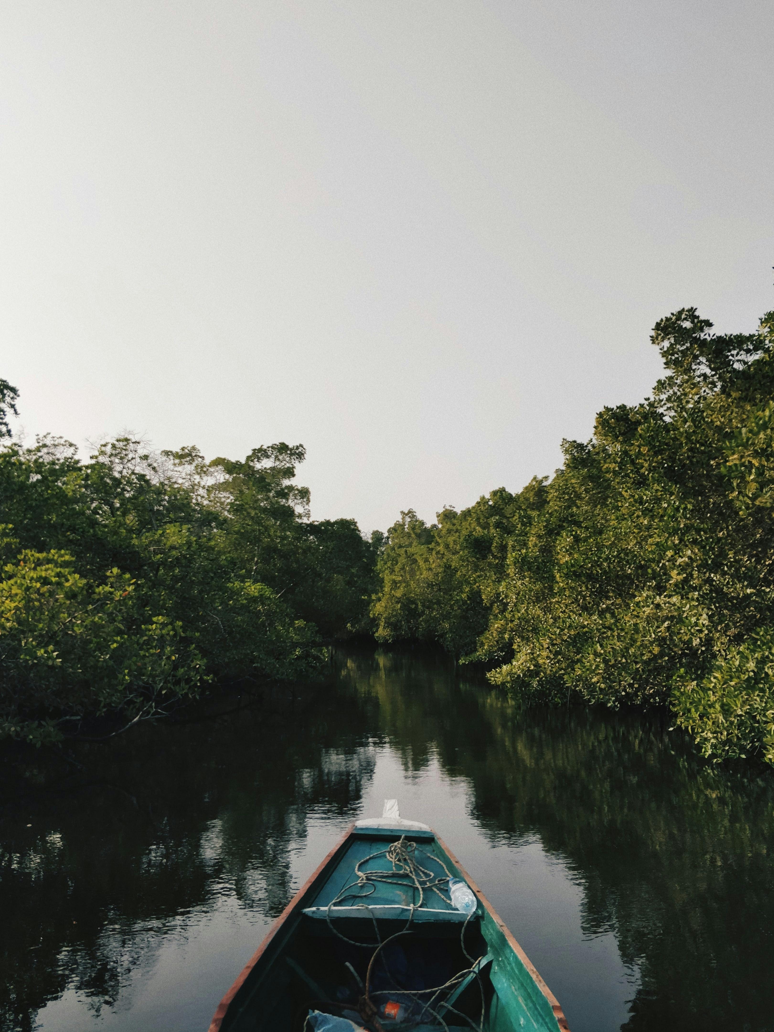
A pirogue gliding quietly through a mangrove channel in the Saloum Delta

Groundnut Basin & Centre

Fatick

Serer heritage and the mangrove islands of the Saloum Delta.

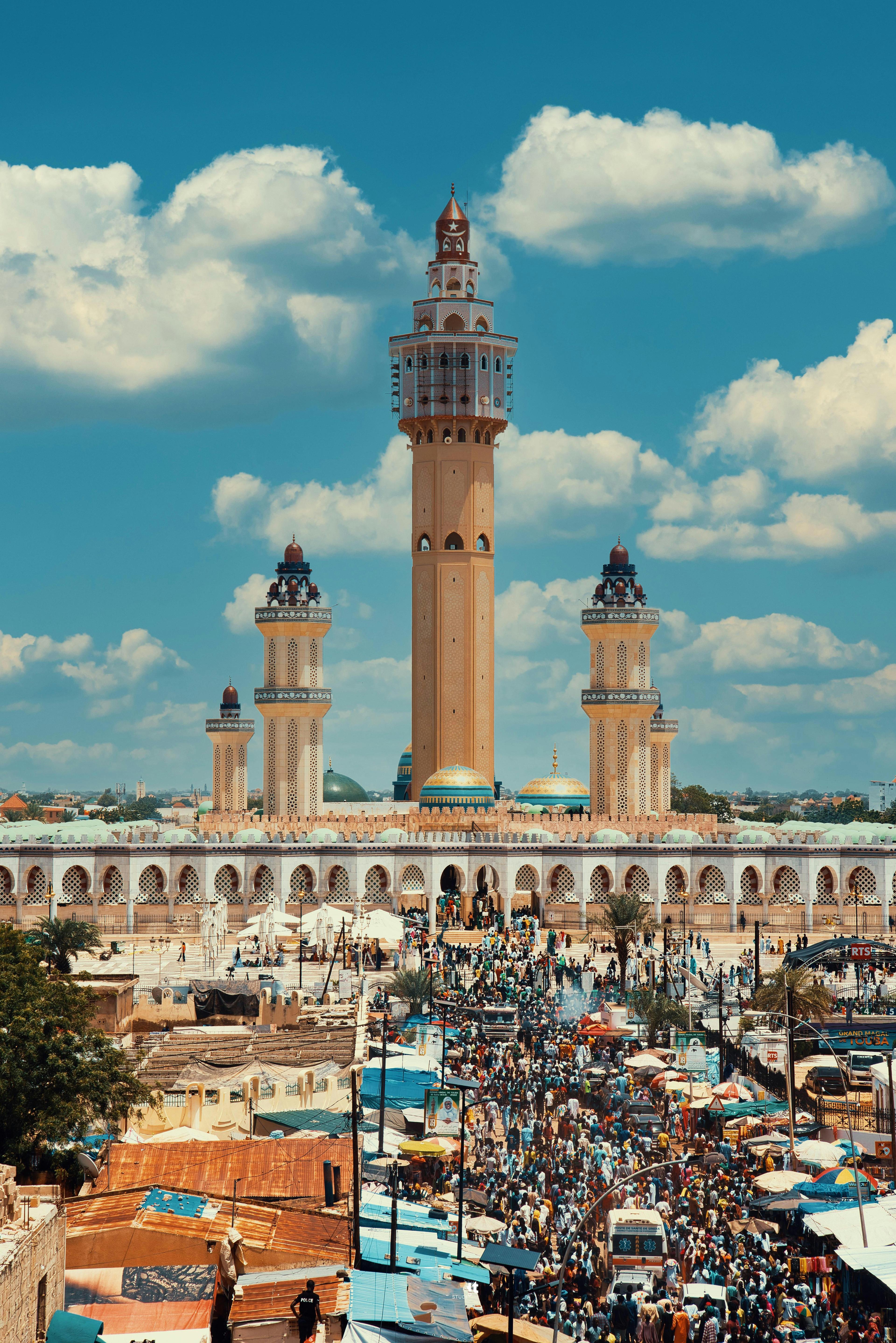
Minarets of the Great Mosque of Touba against a clear sky

Groundnut Basin & Centre

Diourbel

The Baol, and the holy city of Touba.

East & Southeast

An informal travel grouping — not an official division.
East & Southeast

Tambacounda

Senegal's largest region and the gateway to Niokolo-Koba.

East & Southeast

Kédougou

Hills, waterfalls and the cultural landscapes of Bassari Country.

Casamance & South

An informal travel grouping — not an official division.
Casamance & South

Kolda

Upper Casamance and the Fula country of the Fouladou.

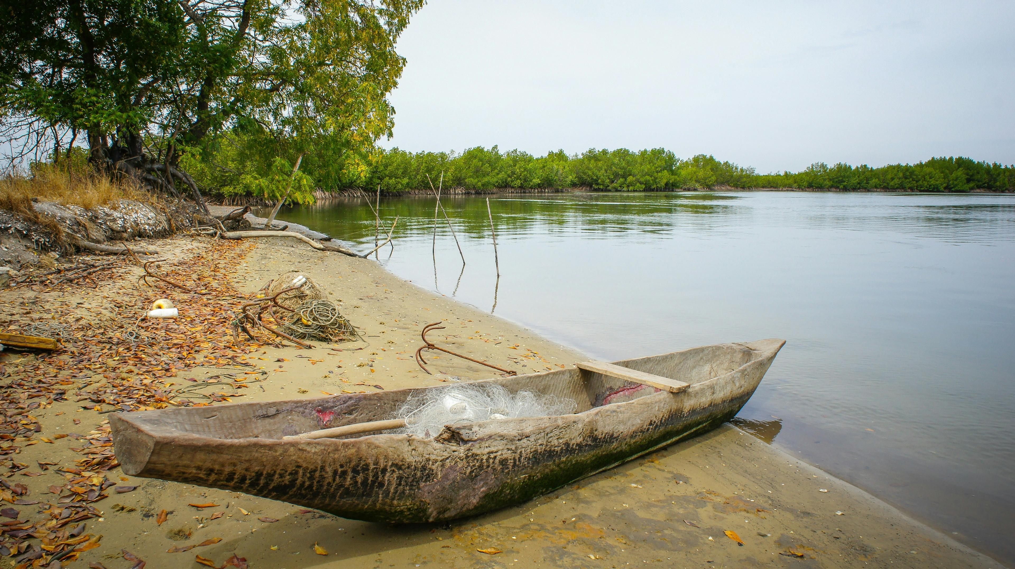
A wooden canoe resting in a mangrove inlet in Casamance

Casamance & South

Sédhiou

Middle Casamance and its Mandinka heritage.

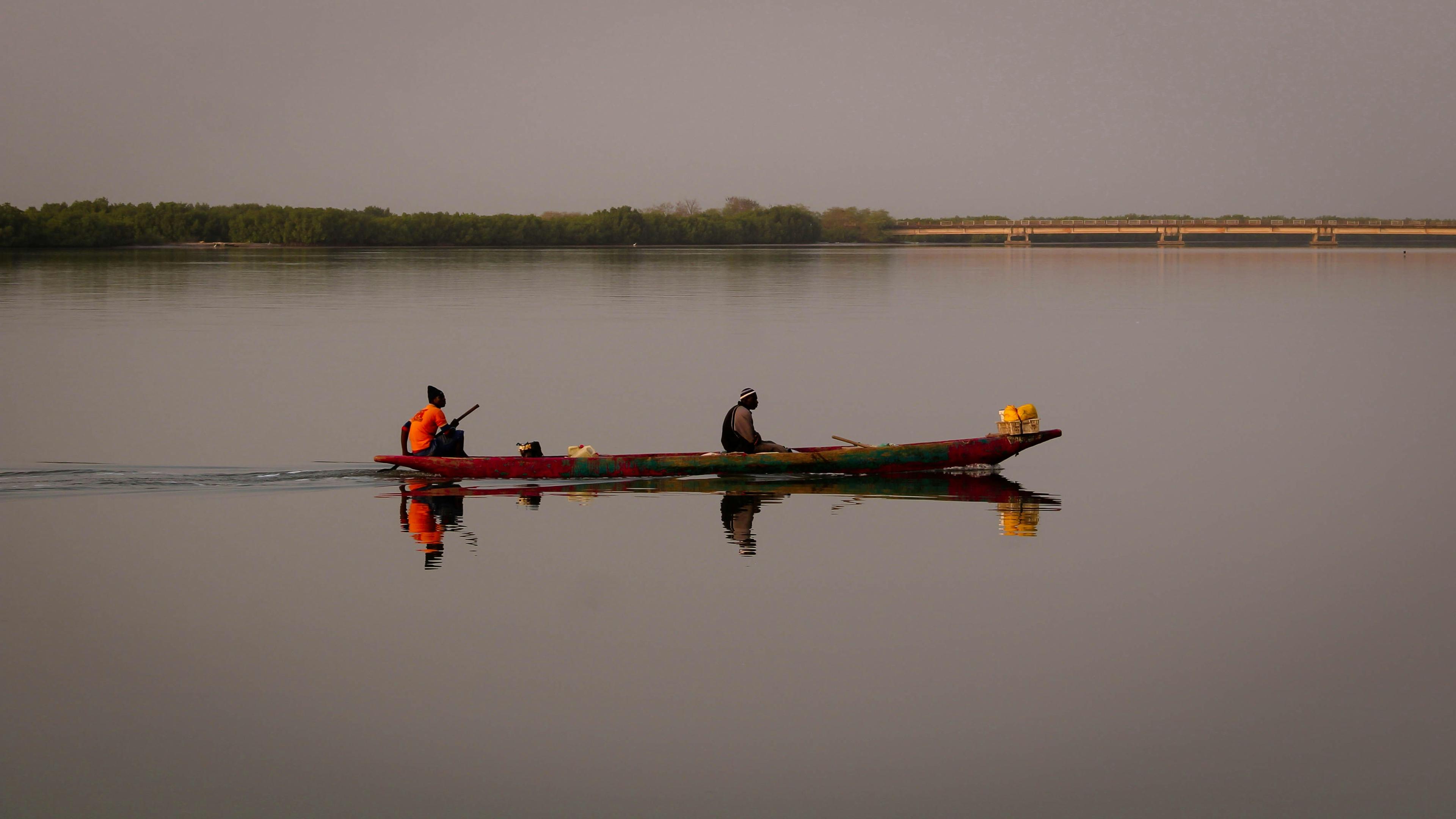
Fishermen returning by pirogue on the Casamance River

Casamance & South

Ziguinchor

Rice paddies, mangroves and the Jola heartland of Lower Casamance.

Estamos traduciendo nuestros contenidos al español. Algunas páginas aún aparecen en inglés.